700c. 700–1000 · Uxmal, Yucatán
Uxmal and the Puuc Maya
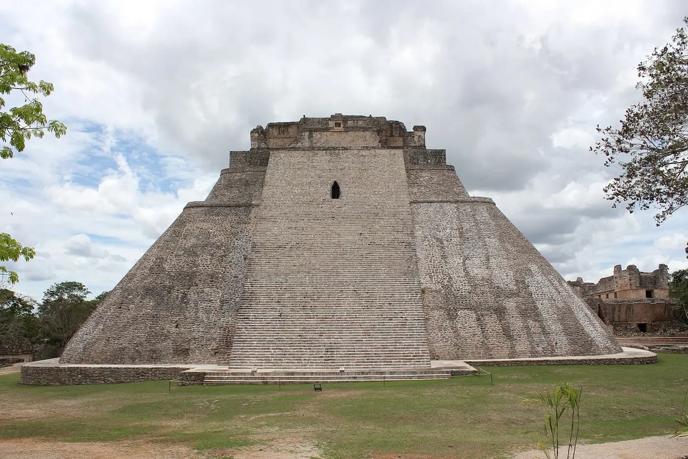
In the low Puuc hills south of Mérida, Maya cities flourished between about 700 and 1000, drawing water from cisterns rather than cenotes. Uxmal, the largest, became the capital of a regional state linked by a raised causeway to Kabah. Their builders developed the Puuc style: plain lower walls under friezes of cut-stone mosaic, with long-nosed masks of the rain god Chaak.
Sites
Guides who take you there
History-only · order never for saleWe haven't found an independent history guide for this yet. Guide here? Tell us about your tours.
Also in Mérida & the Yucatán
More from the Medieval


Read more: reference. Summary written by History-Tours.com.